Trails · 31 May 2026 · 9 min
Salher Fort: a night start, a sunrise summit, and the highest fort in Maharashtra
I climbed Salher in May, starting at ten to four in the morning. Here is the whole day: exact timings from my own camera, what the route is actually like, what the trip cost, and the one thing to get right before you go.
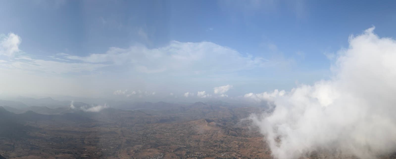
Salher is the highest fort in Maharashtra, at 1,567 metres. Kalsubai is higher, at 1,646 metres, but Kalsubai is a peak with a temple on it rather than a fort, which makes Salher the highest fort and the second highest peak in the state. In July 2025 it became a UNESCO World Heritage Site, one of twelve inscribed as the Maratha Military Landscapes of India.
I climbed it on 31 May 2026, which is the wrong month on paper. May in the Sahyadris is brutal. The way around that is to not climb in daylight: we started at ten to four in the morning and were on the summit before the sun had properly cleared the horizon.
This is the whole day, with the times my phone recorded.
- highest fort in Maharashtra
- 1,567 m
- we started climbing
- 3:50 AM
- to the summit
- 3h 45m
- gates on the Salherwadi route
- 6
- per person, one day from Surat
- ₹1,899
- inscribed by UNESCO
- 2025
Why it is worth the drive
Maharashtra has hundreds of forts and most trek write-ups treat them as interchangeable. Salher earns its own post for three reasons.
It is where the Mughals lost in the open. Shivaji Maharaj took Salher in 1671 during the Baglan campaign. Aurangzeb sent an army to take it back, and in 1672 the two sides met in a set-piece battle on open ground with something like a lakh of soldiers between them. The Marathas won. Almost every other famous Maratha victory is a masterclass in asymmetric warfare, fought from a ridge or at night. Salher is the one that says they could also just win a straight fight.
It is genuinely remote. 110 km from Nashik, about 280 from Mumbai, and the last stretch is not a thing public transport solves for you. That keeps the crowds off it in a way Lohgad and Rajgad stopped managing years ago.
It is on a UNESCO list now, and that is a clock. Signage, ticketing, a car park and a lot more people are coming. Whatever Salher is at the moment, this is the last season or two of it being that.
Getting there from Surat
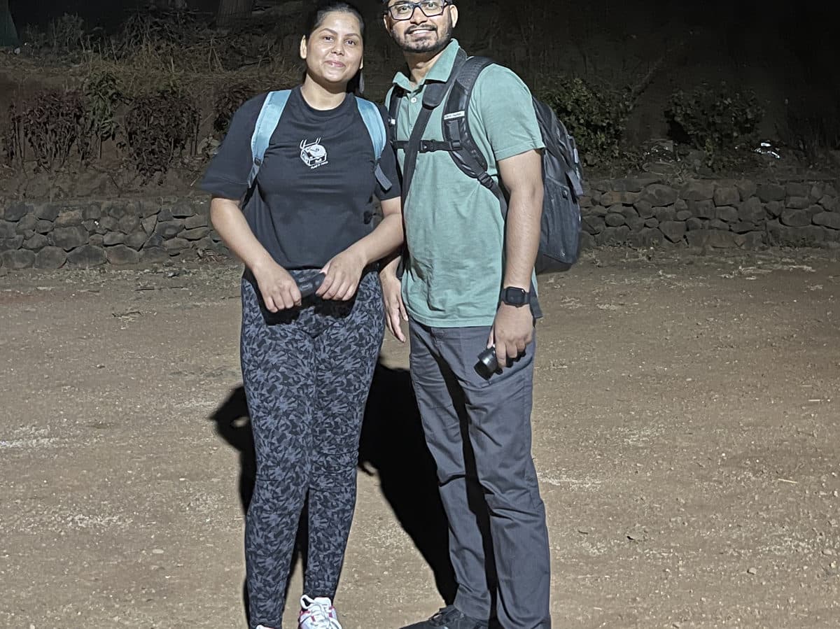
We left Surat around 10:30 PM and reached Salherwadi at about 3 AM. Overnight in a bus, which is the right way to do this trip: you lose a night's sleep instead of a day.
Surat to Salher is roughly five hours and almost nobody writes about this route, because most Salher content is written for Mumbai and Pune. If you are in south Gujarat, this is a closer fort than most people in Surat realise.
The other approaches: Nashik is about 110 km, Mumbai about 280 km, and the nearest railhead is Manmad Junction, around 81 km out by road.
The two routes, and why the one you pick matters
There are two independent ways up.
Salherwadi. Six gates, roughly three hours at a normal pace. This is the full defensive sequence, which is the entire point of climbing a fort rather than a hill.
Waghambe pass. Four gates, about two and a half hours. Shorter, and the usual pick for groups doing Salher and Salota in a day.
We went up from Salherwadi. If you are only doing this once, take that one. The gates are the fort.
What the climb is actually like
The operator grades it moderate to hard. I would say moderate and long, with one caveat that has nothing to do with fitness.
The first stretch is stony and sandy, on a moderate incline, and it is the part that catches people out. There is loose gravel sitting on top of hard rock. In the dark you cannot see which is which, and ordinary sports shoes skate on it. The trick, and I mean this literally, is to put your foot on stone wherever there is stone rather than on the sandy patches between. Aim for the embedded rock, not the path of least resistance.
Then it gets better. The middle of the route is the reason to come: rock-cut staircases, centuries old, cut straight into the hillside and running up through the gates. They are uneven, they are high in places, and they are worn smooth in the middle where a few hundred years of feet have been. They are also genuinely fun to climb in a way a mud path never is.
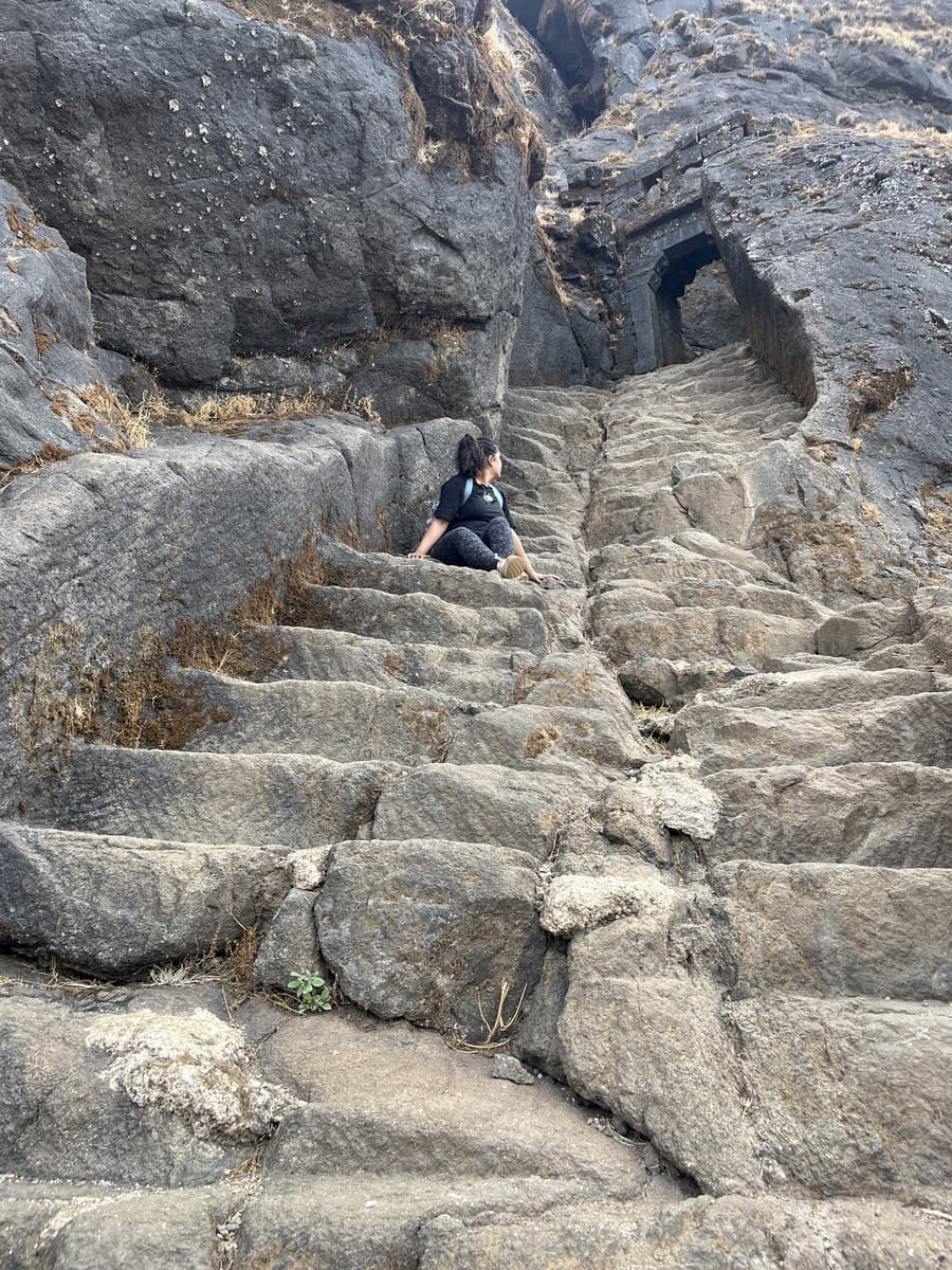
The gates are set at angles so you cannot see the next one until you are through the last. That is not scenery, it is design: anyone arriving with worse intentions than yours never gets a clear run.
We stopped properly at about 5:53 AM, roughly two hours in, as the light was starting.
The part nobody tells you about a night start
Two things happened in the dark that made the whole trip.
The Milky Way. On a clear pre-monsoon night at that altitude, with no town anywhere near you, it is simply there. I had maybe twenty minutes of it. I have no photograph of it, because the cloud arrived at roughly the moment I got the phone out, which is the most honest summary of pre-monsoon weather on this hill that I can offer.
Then it rained. A short shower partway up, in May. Not heavy, and it passed, but worth saying plainly: even in the dry season up here, the weather does what it wants. Do not treat May as a guarantee of a clear night.
So: carry a torch with a wide beam, not a narrow one. A tight spot beam lights a coin-sized circle and tells you nothing about where the loose gravel is. You want to see the shape of the ground three steps ahead.
The summit
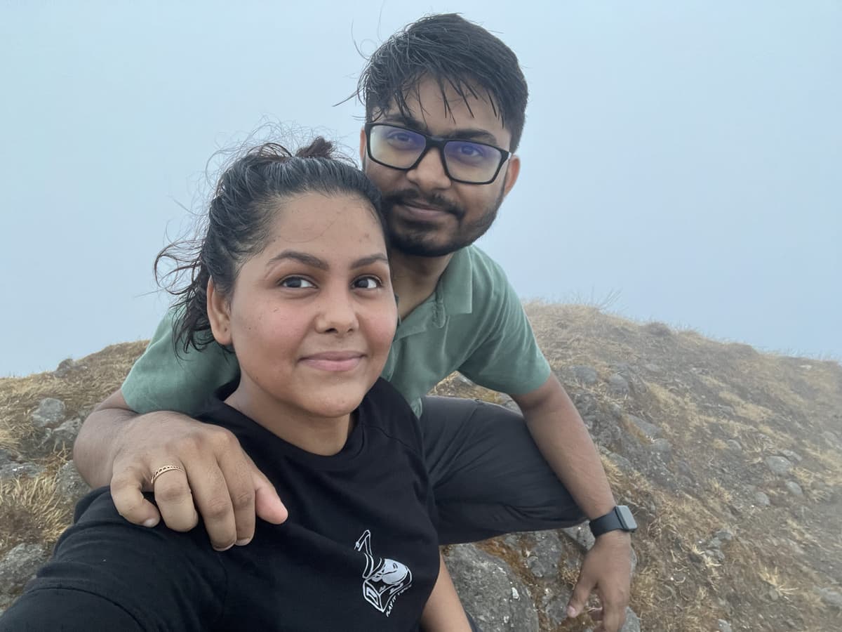
We topped out at about 7:35 AM.
The plateau is much larger than you expect after climbing something that steep. It is a place people lived, not a viewpoint.
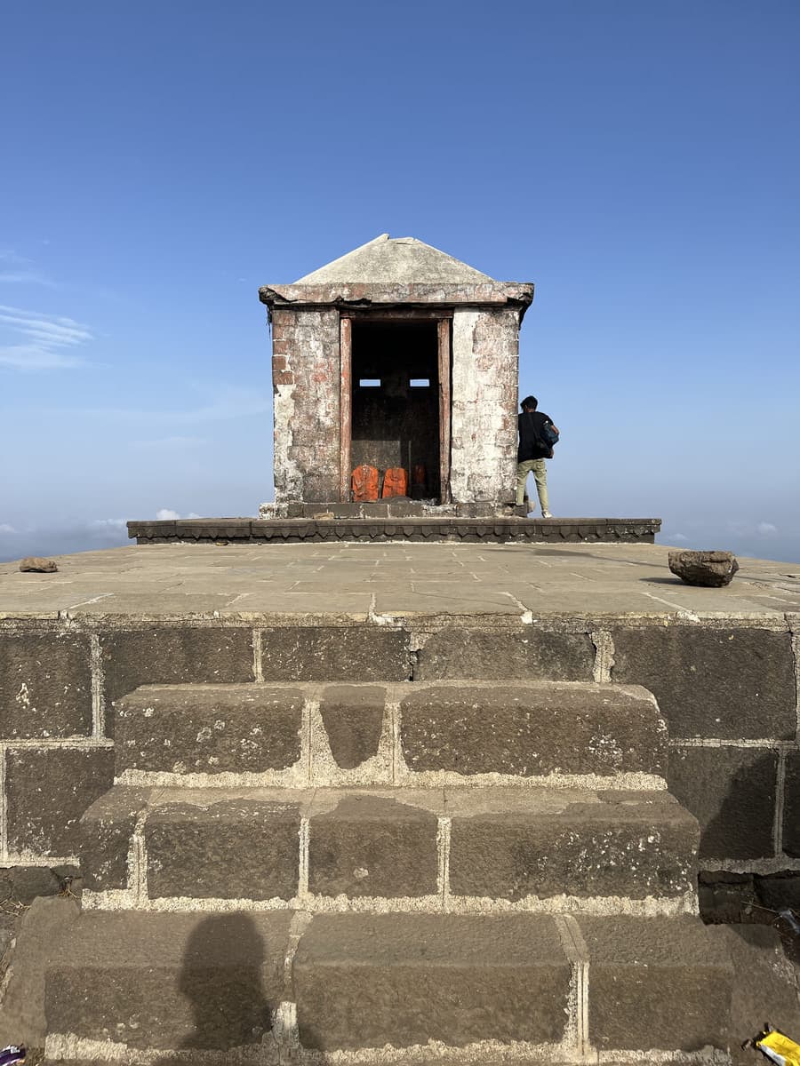
The temple. There is a small stone temple on the top, square, with a triangular stone dome, and it is one of the few structures up there still standing whole. This is a Parshuram temple, and the association is much older than the fort's Maratha history: the legend is that Parshuram performed his penance here. Shivaji Maharaj took the fort in 1671; he did not build this.
Take your shoes off before you go in. It is a working temple and people do still come up here to worship. It is a long way to climb to be rude at the end of it.
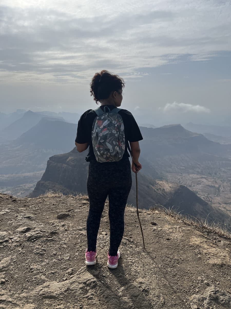
We spent a while up there, ate, and looked at the view, which on a clear morning runs into Gujarat and on most mornings runs into a cloud sitting below you.
Gangasagar, on the way down
There is a lake on the fort, Gangasagar, held behind a masonry wall, and in May it is low but very much there. There are also roofless Renuka Devi and Ganesh temples beside it.
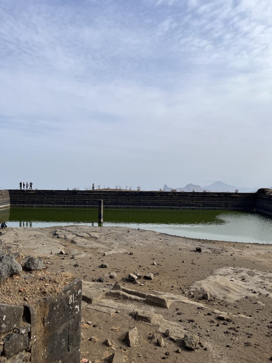
A fort at 1,567 metres that holds its own water year-round is the reason it could be held at all. That is not decoration, that is the fort working.
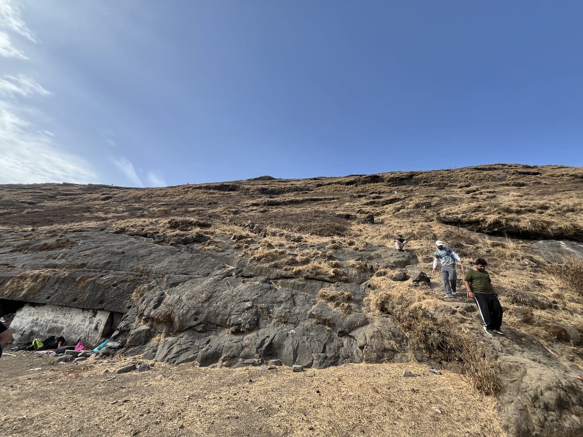
We were back at the base at about 10:45 AM, which made it a seven-hour day on the hill, door to door from Surat in under twenty-four.
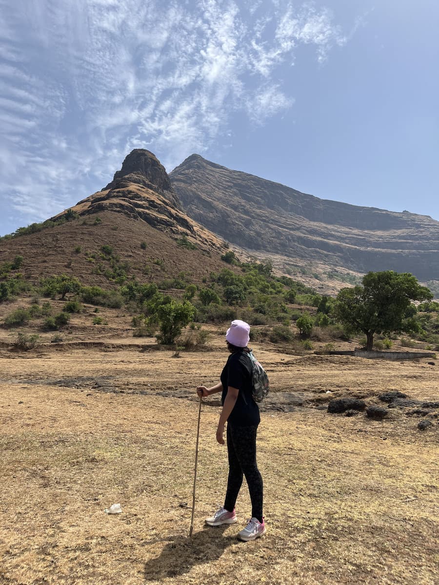
Going with Titter Adventures
I did this as a one-day organised trip with Titter Adventures, who are based in Surat and run Sahyadri, Himalaya and Dangs treks.
What the trip is. Reporting in Surat at 10:30 PM, overnight bus, reach the base village early, freshen up and breakfast, climb, descend, drive back. One day, no night halt. ₹1,899 per person, which is what I paid and what it still costs. They grade it moderate to hard, with an 18 to 45 age band.
Breakfast at the base was poha, chai and coffee, bread and butter, and a banana. That sounds like a small detail and it is not: you are starting a four-hour climb at ten to four in the morning having not slept, and turning up at the first gate with something in you makes a real difference.
They brought a local guide. The trip leads knew the fort rather than just the path, and there was a guide from the area with us as well. Both of those matter more than they sound. A leader who only knows the route can get you up and down; the history of what you are walking through is the reason to climb a fort instead of a hill. And engaging someone local means the money reaches the village the fort sits above, which is not nothing.
Worth knowing. It is a one-day trip built around a night start, so you climb on no sleep at all. Plan the day after accordingly, and do not drive yourself home.
Would I go with them again? Yes. I have not worked out which trek yet.
What I would tell you before you go
Shoes. This is the whole list, really. We climbed in ordinary sports shoes and got away with it. The loose gravel over rock in the first section is exactly what a flat-soled running shoe cannot grip, and you are on it in the dark. Proper trekking shoes with a real lugged sole. If you only change one thing from what we did, change this.
A wide-beam head torch, not a narrow one, and not your phone.
Water for the climb. There are cisterns on the fort but treat those as a bonus, not a plan.
Go in the dark on purpose. A May trek sounds like a mistake and is not, if you start at four and are down by eleven. You skip the heat entirely and you get the stars.
Expect weather anyway. It rained on us in May.
Phone signal exists, barely. There is some at the base village and some at the summit, but it is weak and it only appears at particular spots rather than across the plateau. Enough to send a message if you stand in the right place. Not enough to rely on, and certainly not enough to plan a meeting point around.
Shoes off at the temple.
Climbed 31 May 2026. Timings are from my own photographs. Heights and historical details were checked against published sources in September 2026; the height in particular varies between sources, so treat it as approximate.